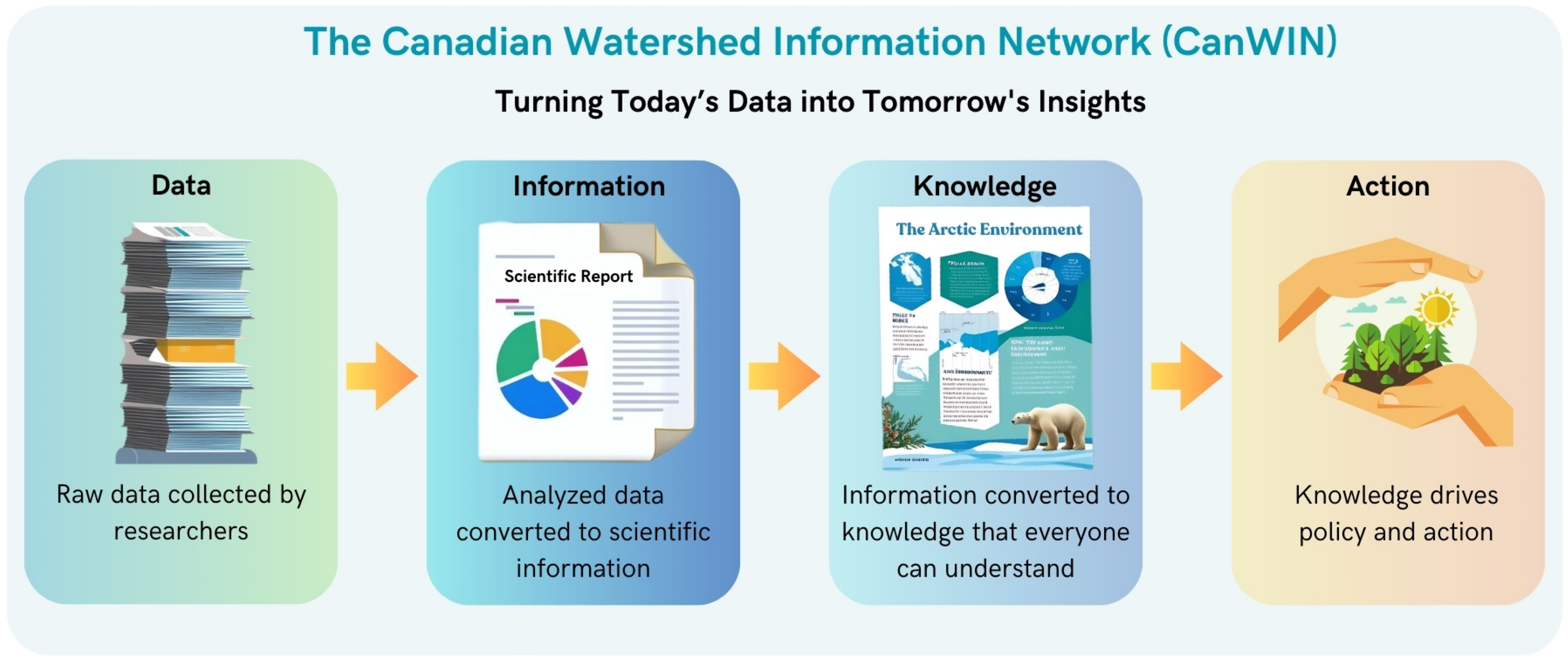
The Canadian Watershed Information Network (CanWIN) is a collaborative, distributed platform focused on providing access to environmental data related to watersheds in Canada. We address critical water issues such as water quality, water scarcity, and ecosystem health, by fostering interdisciplinary research and promoting innovation through access to trans-disciplinary data.
CanWIN connects government agencies, researchers, environmental organizations, and local communities to collaboratively monitor and manage Canada's water resources. Our platform provides data visualization, analysis, and decision-making tools that support improved water management practices and policies.
Key functions of CanWIN include:
- Data Access: Offering access to climate, water, and watershed health data across Canada.
- Collaboration: Facilitating partnerships and collaboration between various sectors and organizations involved in watershed management.
- Decision Support: Providing decision-makers with the necessary information and knowledge products to develop policies and strategies for sustainable water management.
- Education and Outreach: Increasing public awareness about watershed management and water conservation.
